CYMS provides with Sentinel-1-derived ocean surface wind field products acquired along Tropical Cyclone forecast tracks through a single integrated portal. It also provides data over polar lows and extratropical cyclones.
- Ocean surface wind estimates day and night at high spatial resolution and over wide images for hurricane-force winds, additional key information on Tropical Cyclone structure: maximum wind speed, eye diameter, wind radii, eyewall replacement cycle… from Sentinel-1,
- complementary existing observations (geostationary imagery, radiometry ) for a full overview,
- Customized, validated and fully acknowledged products,
- Standardized, interoperable and harmonized service,
- WebGIS platform and archive center,
- Near real-time information
See the Product User Manual for information on the data format and access
See the Webinar replay, questions and presentation
Near-Real Time Tropical Cyclone data access

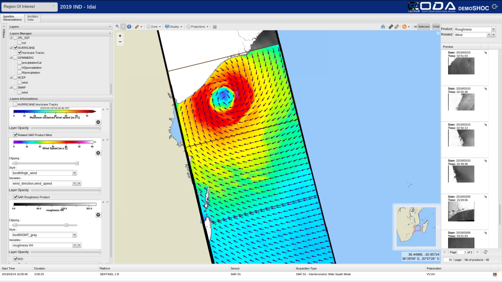
EODA webGIS portal enables to visualize and download latest NRT wind surface products.
A SFTP server to download data files (netCDF) is available at:
sftp://ftp.vigisat.cls.fr/CYMS_products/
login: CYMS
pwd: CYMSentinel1
port: 2222
(open on e.g., Filezilla)
A beta version of a new graphical interface is also available.
Archive data access for Tropical Cyclone, polar lows and extratropical cyclones

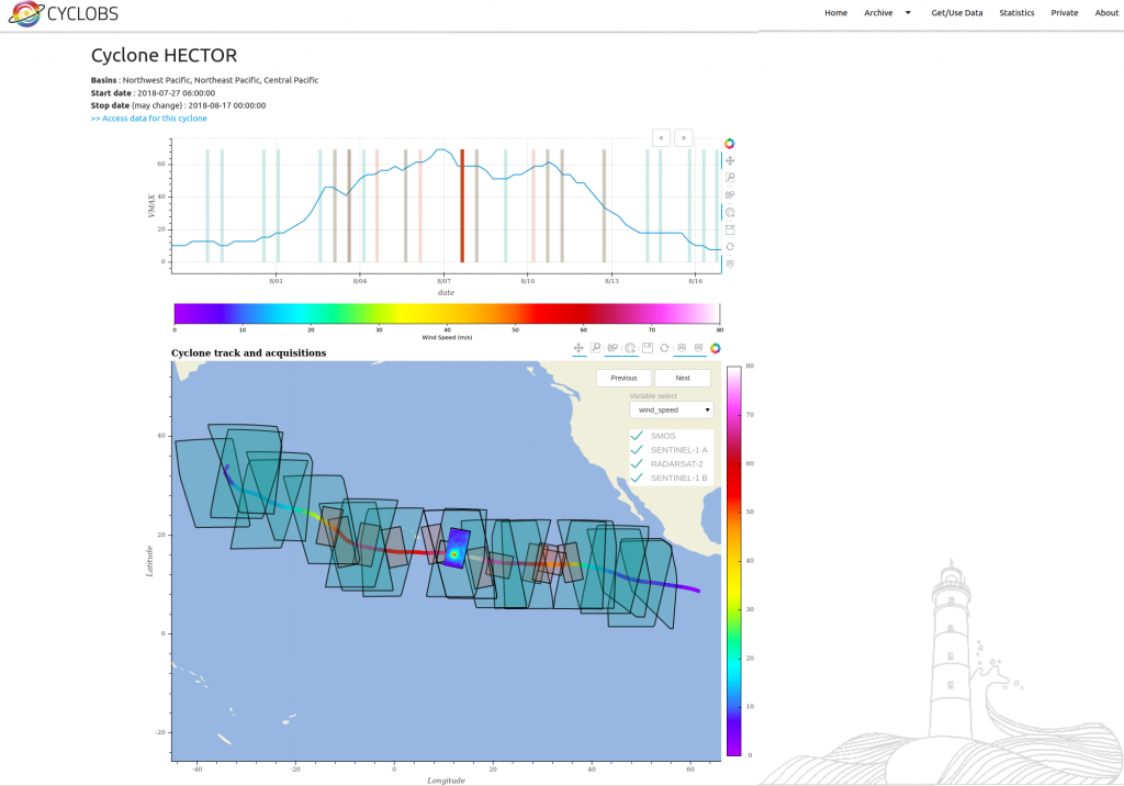
Cyclobs archive center provides a complete and homogenous dataset to the Tropical & extratropical Cyclone Community. Reprocessing archive center delivering a complete, state-of-the-art and homogeneous dataset since the Sentinel-1 launch. CyclObs updates are data-driven
